Our Services
We are a present and future-oriented company. Our services include:
GIS & ICT TRAINING
At Geo-altimetric Africa limited, we understand that our clients may already be utilizing various GIS and ICT techniques or maybe startups and that is why we offer training on the respective fields.
Geo-altimetric Africa limited has a team competent, experienced and have a proven track record in various GIS aspects including utilizing commercial and open software’s’ for geo-data acquisition, GIS analysis, Remote sensing, Surveying, GIS programing, Data collection or map making among other aspects.
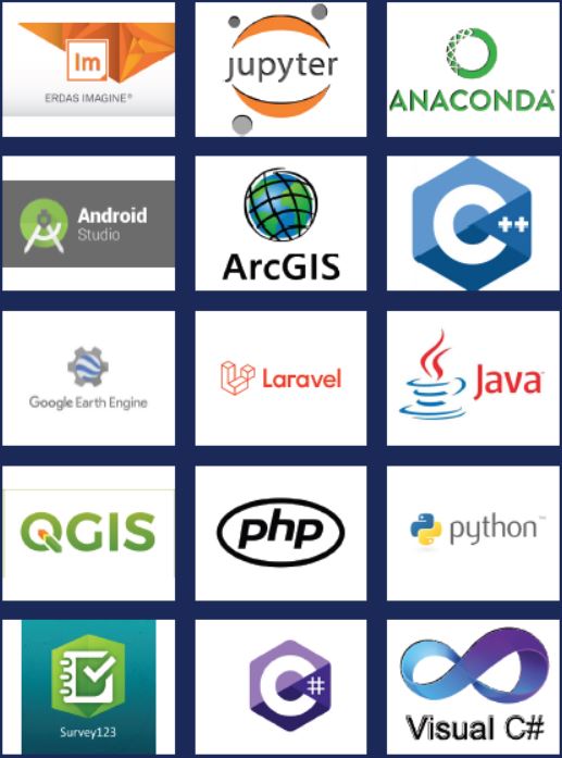
Geo-altimetric Africa limited also has an ICT team that is experienced in coding and programming utilizing various programming languages such as php, JavaScript, C#, C++, Laravel, python, android studio among others, systems development, CCTV and Biometrics installation, data digitization etc. and hence we got out clients covered in all aspects to be trained on.
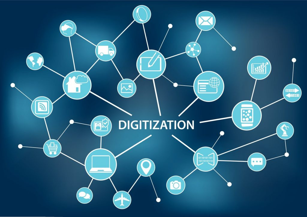
DIGITIZATION
Data digitization involves the conversion of hardcopy files to digital files. This ensures there is an easier way of handling, sharing and editing of data. Satellite and aerial Images, contour maps, zonal maps, RIMs, FRs, utility maps, cadastral maps, topographical maps, and sketches can be digitized to have the digital files.
At Geo-altimetric Africa limited we offer all the digitization services utilizing state of the art technologies that suit all our clients’¬ needs. The services are rendered in such a way to meet the global and internationally recognized standards thereby putting our client’s products on the global platforms.
SYSTEM DEVELOPMENT

Systems development has been defined as the process of defining, designing, testing and implementing a new program, application or software. This could include internal development of customized systems, the creation of database systems, or the acquisition of third party developed software.
At Geo-Altimetric Africa we pride ourselves in developing and integrating high quality and cost friendly systems that exceed our client expectations delivered within the stipulated time frame ensuring the system has gone through all the system development life cycle (SDLC) Stages.
Geo-Altimetric Africa ensures all the systems developed go through the following processes:
- Preliminary analysis and feasibility study
- Systems analysis and requirements definition
- Systems design and development
- Systems integration and testing
- Systems Maintenance
- Systems Evaluation
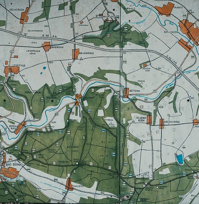
DIGITAL MAPPING
Digital mapping encompasses digital collection of data, data cleaning to remove unnecessary content and errors in data collection, data analysis to combine the data with other available digital datasets, accurate storage of the digital data and finally sharing maps which may be static or dynamic.
At Geo-altimetric Africa limited, we offer all the digital mapping services and are designed as a one stop shop for all the digital mapping needs. Digital mapping can be done to map the road networks, power lines routes, pipeline routes, water and sewerage routes among other areas.
EMAIL/SERVER MIGRATION

At Geo-Altimetric Africa Limited we offer an easy, flexible and cost friendly email server migration options to help meet your technical and budgetary expectations. Geo-Altimetric Africa Limited have an experienced team that will aid your work processes to ensure the old emails are archived well or they be moved to active messages, calendars, task lists and contacts for easy and seamless email migration.
View All


