WHAT WE DO

We are an emerging Geographic Information Systems (GIS) and ICT company whose scope and professional services span through data collection and analysis, digitization and system development. We are founded on a solid establishment of strong work ethics and excellent customer relation. Our services include:


Contact Us

+254 705 653 156 +254 725 299 085

You can also get in touch online via contact form or email.

Get in Touch Online

Our Services

We are a present and future-oriented company. Our services include:


GIS & ICT TRAINING


At Geo-altimetric Africa limited, we understand that our clients may already be utilizing various GIS and ICT techniques or maybe startups and that is why we offer training on the respective fields.

Geo-altimetric Africa limited has a team competent, experienced and have a proven track record in various GIS aspects including utilizing commercial and open software’s’ for geo-data acquisition, GIS analysis, Remote sensing, Surveying, GIS programing, Data collection or map making among other aspects.

Geo-altimetric Africa limited also has an ICT team that is experienced in coding and programming utilizing various programming languages such as php, JavaScript, C#, C++, Laravel, python, android studio among others, systems development, CCTV and Biometrics installation, data digitization etc. and hence we got out clients covered in all aspects to be trained on.

Submit Request


DIGITIZATION

Data digitization involves the conversion of hardcopy files to digital files. This ensures there is an easier way of handling, sharing and editing of data. Satellite and aerial Images, contour maps, zonal maps, RIMs, FRs, utility maps, cadastral maps, topographical maps, and sketches can be digitized to have the digital files.

At Geo-altimetric Africa limited we offer all the digitization services utilizing state of the art technologies that suit all our client's needs. The services are rendered in such a way to meet the global and internationally recognized standards thereby putting our client’s products on the global platforms.

Submit Request


SYSTEM DEVELOPMENT

Systems development has been defined as the process of defining, designing, testing and implementing a new program, application or software. This could include internal development of customized systems, the creation of database systems, or the acquisition of third party developed software.

At Geo-Altimetric Africa we pride ourselves in developing and integrating high quality and cost friendly systems that exceed our client expectations delivered within the stipulated time frame ensuring the system has gone through all the system development life cycle (SDLC) Stages.

Geo-Altimetric Africa ensures all the systems developed go through the following processes:

  • Preliminary analysis and feasibility study
  • Systems analysis and requirements definition
  • Systems design and development
  • Systems integration and testing
  • Systems Maintenance
  • Systems Evaluation

Some of the systems that we can develop include:

  • Mobile Data Collection Systems
  • Sacco Management Systems
  • School Biometric Management Systems
  • Library Management Systems (utilizing RFID)
  • Ticketing Systems
  • POS Software
  • Workforce Management Systems, among others.


DIGITAL MAPPING

Digital mapping encompasses digital collection of data, data cleaning to remove unnecessary content and errors in data collection, data analysis to combine the data with other available digital datasets, accurate storage of the digital data and finally sharing maps which may be static or dynamic.

At Geo-altimetric Africa limited, we offer all the digital mapping services and are designed as a one stop shop for all the digital mapping needs. Digital mapping can be done to map the road networks, power lines routes, pipeline routes, water and sewerage routes among other areas.

Submit Request


DATA COLLECTION & ANALYSIS


Big data is an emerging thing in the world right now with different forms of data available based on various needs. Be it simple as it may be, not everyone has access to reliable, real time and accurate data.

Geo-altimetric Africa limited offers the data collection services to its clients all over the world

Submit Request


ASSET MAPPING

At Geo-altimetric Africa limited, we know that without proper planning, managing assets that are especially located in different regions can be expensive and exhausting since a lot of staff will have to be employed and managed. This is because assets not only have to be identified where they are but also monitored in terms of their performance.

This is why, Geo-altimetric Africa limited offers asset mapping services worldwide to its clients wherever they are enabling them collect data about the location of their assets and other attributes of the assets such as condition, associated costs, last repair date, recurrent costs etc.

Geo-altimetric Africa limited, also enables their clients create a spatial database for inventory of their assets which enables data analysis and visualization of the assets. This enables easy and proper decision making, efficiency in operations management and cost reduction in the management of the assets.

Some of the assets could be generators, wind mills, network masts, fire hydrants, drainage pipes, water meters, bore holes among others.


REMOTE SENSING

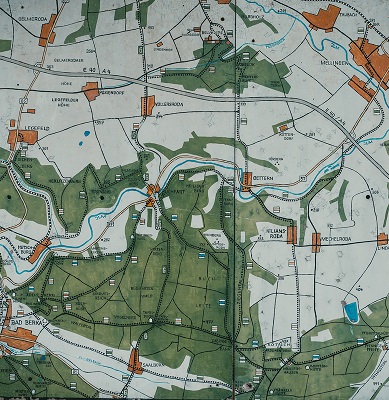
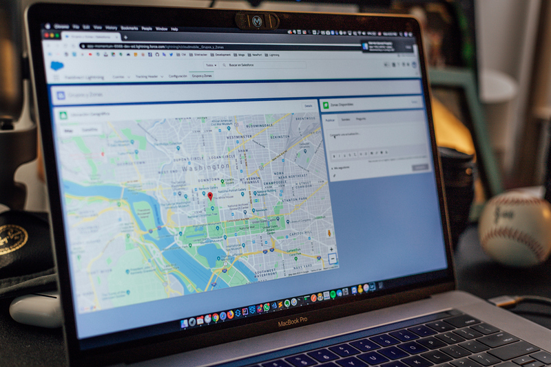
At Geo-altimetric Africa limited, we understand that different projects require different sets of data and information. Some of the projects encompass large areas of land where ground survey will not be feasible and viable and hence need for state-of-the-art geo-acquisition techniques.

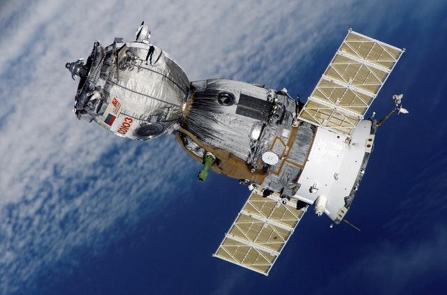
This is why, Geo-altimetric Africa limited offers remote sensing services not only locally but also globally ensuring its clients gets real-time, accurate and cost-friendly data for their projects.

Geo-altimetric Africa limited remote sensing services include but not limited to:

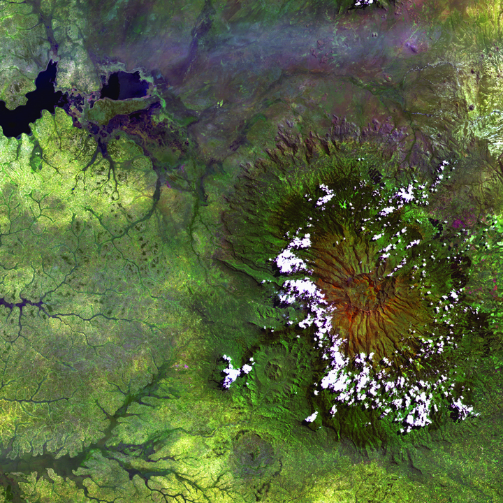
  • Digital Image acquisition
  • Digital Image pre-processing and Classification
  • Digital image enhancement and processing
  • Change detection analysis
  • Image data extraction

Geo-altimetric Africa limited remote sensing services are also delivered based on clients’ and projects’ needs. Data requirements can be on various subjects such as flood monitoring, forest cover monitoring, land use land cover change, vegetation cover monitoring and soil erosion among other fields.

Such datasets are important for both national and county governments and even the private sectors. They can be used for cities and towns planning, military mapping and research, archaeological surveys and mapping among others.

Geo-altimetric Africa limited prides itself in remote sensing experts who have proven track record in remote sensing and the software’s used which include ERDAS Imagine, ENVI, ArcGIS, QGIS, Global Mapper, Google Earth Engine and many others.


BIOMETRIC

We pride ourselves in development of biometric systems that make use of the measurable unique physical human characteristics for identity verifications

Some of the biometric systems that Geo-Altimetric Africa Limited can develop for you include:

  • Fingerprint Identification System
  • Digital Image pre-processing and Classification
  • Digital image enhancement and processing
  • Change detection analysis
  • Image data extraction

These systems are aimed at helping you overcome some of the following challenges.

  • Premise entry and exit logs
  • Staff Identification proofing
  • Impersonation
  • Duplicate preventions
  • Watch-list Checking
Submit Request


GIS DATA ANALYTICS

Over the years geographic information systems (GIS) has continually provided a framework for data collection, data management and data analytics and as a result a number of big organizations are already utilizing GIS in order to better collect, manage and analyze their data.

With GIS you can perform suitability analysis, understand patterns, map hotspots, visualize trends, break down big data to pieces to analyze each piece, collect both vector and raster data among other things. This is why Geo-Altimetric Africa offers various GIS services including:

  • Location and spatial business intelligence,
  • Enterprise GIS deployment and management,
  • Spatial planning and analysis,
  • GIS application development,
  • GIS Data analytics,
  • Geo-Portals Configuration,
  • Web mapping, cartography and visualization
  • GIS data collection and analysis

We take pride in a team that has extensive experience in geospatial technology, working in various projects both nationally and internationally -working remotely, delivering projects on time and exceeding client’s expectations in the process.